Campingplatz Tennsee
Startseite I Winter camping Bavaria I
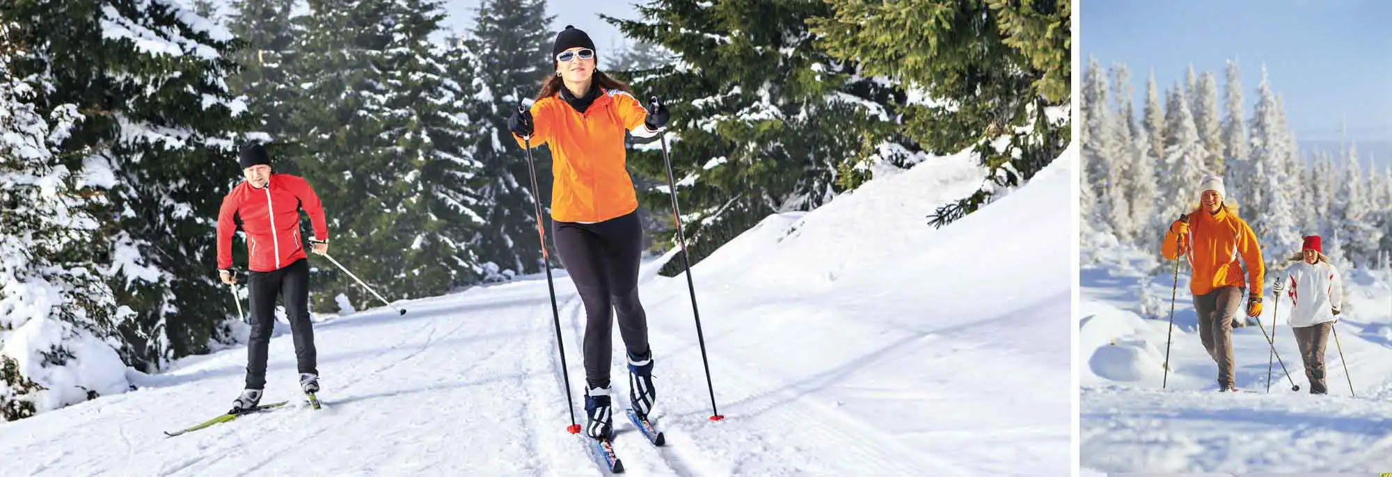
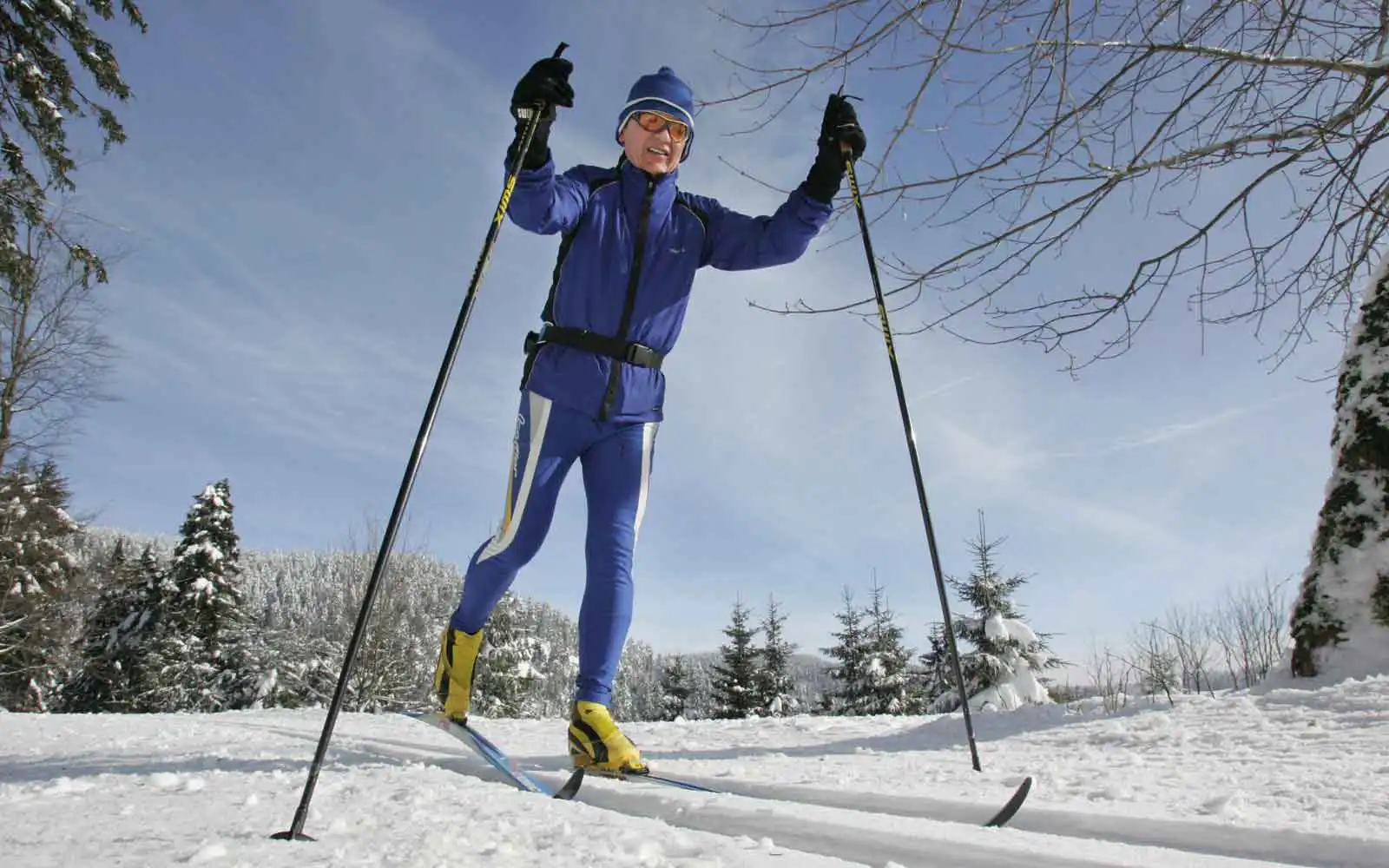
Well-maintained ski hiking trails, cross-country and skating trails
Winter camping on Tennsee means relaxation, winter sun and winter sports without hustle and bustle in a fog-free, sunny environment. It was not without reason that winter camping started from here. The fascinating high mountain world of the Karwendel and Wetterstein Mountains frames your diverse leisure activities such as winter hiking on many cleared trails, cross-country skiing on the branched, well-groomed network of trails.
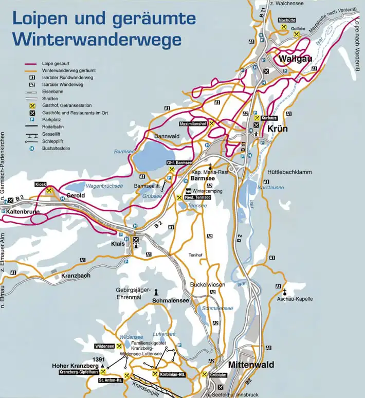

Cross-country trails
Continuously maintained 4, 8, 15 and 30 km classic/skate cross-country trails (ski trails) in Krün with further connecting trails. Cross-country lessons and guided ski tours. Night skiing under floodlights.
Night skiing under floodlights, cross-country and snowshoe trails
- 1 km loop trail – Feldstraße
- 1.5 km loop trail – Finzbachstraße (floodlight operation, see event program)
- 4 km Krottenkopfstraße – Wallgau – Barmsee – Café Einkehr
- 8 km Krottenkopfstraße – Wallgau – Barmsee – Café Einkehr
- 14 km Isar bridge – Wallgau – Vorderriss
- 20 km Krottenkopfstraße – Barmsee – Geroldsee – Barmsee – Krün
- (Connection Gerold – Kaltenbrunn – Klais possible)
- 15 km loop trail Klais (shooting range) – Kaltenbrunn – Klais
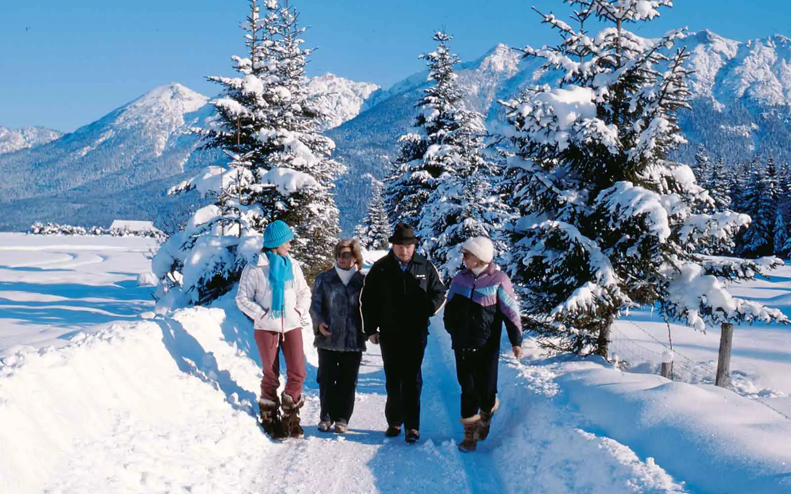
Cleared winter trails
Recommended: 1 Isar Valley hiking loop (approx. 30 km) Krün – Wallgau – Barmsee loop – Klais – Kranzbach Palace – Elmau – Ferchensee – Lautersee – Mittenwald – Aschau Chapel (Aschauer Alm inn closed) – Krün A2 Krün – Hochstraße – Tonihof – Gröblalm – Mittenwald – Krün (approx. 12 km)
(Distance and time indication for one-way routes)
- Isar Bridge – Reservoir – Aschau Chapel (Aschauer Alm closed) – Mittenwald, 9 km, 2 hours
- Feldstraße – Hochstraße – Tonihof – Mittenwald, 9 km, 2 hours
- Krottenkopfstraße – Barmsee circular route – Barmsee – Krün, 9 km, 2 hours
- Isar Bridge – Auhütte – Wildlife feeding (access only with a guide, registration at the tourist office), 3.5 km, 1 hour
- Feldstraße – Forest cemetery – Tunnel – Hochstraße – Tennsee – Barmsee – Krün, 7 km, 2 hours
- Isar Bridge – Reservoir (circular route), 2 km, 30 minutes
- Krottenkopfstraße – Meadow path – Wallgau, 2 km, 30 minutes
- Tourist office – Hofgartenstraße – Wallgau, 2 km, 30 minutes
- Krün – Barmsee – Tennsee – Klais, 5 km, 1.5 hours
- Klais – Schloss Kranzbach – Schloss Elmau – Ferchensee – Lautersee – Mittenwald, 14 km, 4 hours
Subject to errors and price changes